Perperikon’s Lost Name Revealed – It Was Pergamum
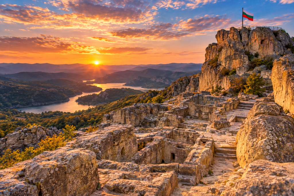
Archaeologists say the ancient rock city of Perperikon in the Eastern Rhodopes was once called Pergamum, based on the 2nd-century maps of Claudius Ptolemy.
For years, visitors to Perperikon have walked its carved stone streets without knowing what its ancient inhabitants called it. Now, archaeologists believe they have the answer: Pergamum.
The clue in an ancient atlas
The announcement came on the final day of this year’s excavations at the rock city near Kardzhali. The evidence comes from Geography, written in the 2nd century AD by the Roman geographer Claudius Ptolemy.
Ptolemy described a major city in the middle reaches of the Arda River. His work was later lost in Europe but preserved by Arab scholars, and in the 13th century it was translated into several languages, maps included. In every version, a city called Pergamum or Pergamon sits in the heart of the Rhodopes.
Not the Pergamum you know
Yes, there is a famous Pergamum in Asia Minor too. Excavation leader Prof. Nikolay Ovcharov explains that the name simply means „fortification“. He adds that no larger city than Perperikon is likely ever to be found anywhere in the Rhodopes, and that it was both a magnificent city and a major sacred centre.
Visit the „Machu Picchu of Europe“
Perperikon is about 15 km from Kardzhali and is open to visitors year-round. Wear good shoes: the climb to the acropolis is steep, but the views over the Eastern Rhodopes are worth every step.
Love Bulgarian history? Follow @promotebulgaria for more discoveries.


